Our Geospatial Data Solutions Team can help because we have the experience, expertise and tools to help you, from geospatial mapping to data evaluation.
Above all, we can help you make informed decisions on time.
Our clients, who range from estate owners, utility companies and lawyers to planners and land agents, appoint us because we have developed a core skill set which includes:
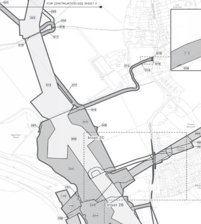
Using the most recent Land Registry database, we work on Nationally Significant Infrastructure Projects (NSIPs):
- Providing a land referencing service
- Identifying people and organisations which have a legal interest in land within the area of the scheme
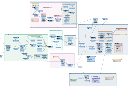
We convert your spatial and non-spatial data into cleaner, more standardised and up-to-date information. We can build complex models that do the hard work for you, cleaning and consolidating your data from multiple sources, incorporating additional third-party data where appropriate, and creating simple models that can turn your address databases into points on a web map.
We tailor search criteria to clients’ specific development requirements and assess identified sites to evaluate their suitability.
We can collect data in the field – either via an online survey form for assessing repairs to assets, or a GNSS survey for obtaining high-accuracy location data.

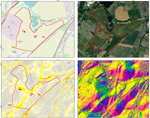
We can digitalise an often outdated topographic map and overlay current geographic information – a service for land owners and agents who require accurate information about their assets and portfolio.

To find out how we can help you make informed decisions based on accurate geospatial data, please call Seb Kingsley or Matthew Turner today, or complete our online enquiry form and we will get back to you directly.
Our Geospatial Data Solutions Team works closely with other specialist teams drawn from across the firm to ensure that clients benefit from integrated and holistic property advice – one team, one plan, one goal.