Project summary
- Using our in-house team of GIS specialists and working with the Fisher German application development team, Fisher German have developed PRS and LinePortal. The systems have unique secure online access and live reporting for clients
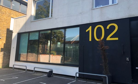
- Line Portal currently holds data for over 10,000 landowners and occupiers linked to 25,000 polygons
Solution
- Using the in-house development team, a program was created to enable the mass calling of landowners in a seamless way, ensuring that no time is wasted updating databases, calling landowners too often, or at the same time
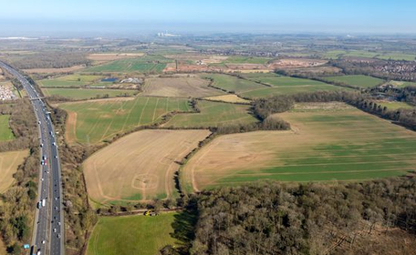
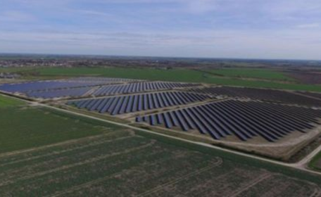
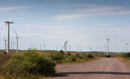
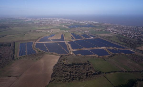
- Fisher German are able to conduct records of conditions of large swathes of land, geo-referencing each photo, enabling the instant creation of large records of condition and photo location maps on a per-holding basis. This has reduced the time spent on compiling Record of Conditions by 50%
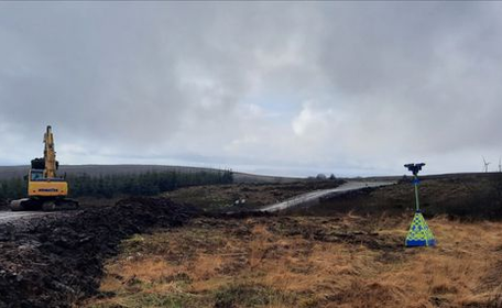
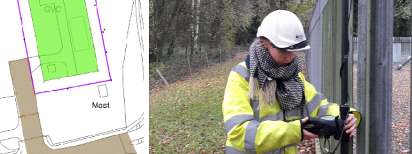
- Using the latest Leica GNSS Survey equipment, Fisher German are able to collect real-time location data and create plans with centimetre accuracy
- Pushing field workers towards a paperless solution, Fisher German employees are able to send hazard information and reports instantly back to the office, with future application for near misses, vehicle checks, and more in the pipeline
Benefits
- Bespoke client delivery, with efficient systems that provide live reporting
- Improved health and safety
- Increased accuracy across projects