Project summary
- Full GIS support for three Major Infrastructure projects for National Grid, incorporating thousands of interests and their associated land. The GIS team created databases of parcel information, capturing interests in the lead up to the creation of a Book of Reference and land plans to submit for a DCO
Solution
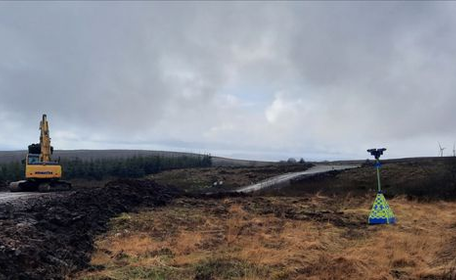
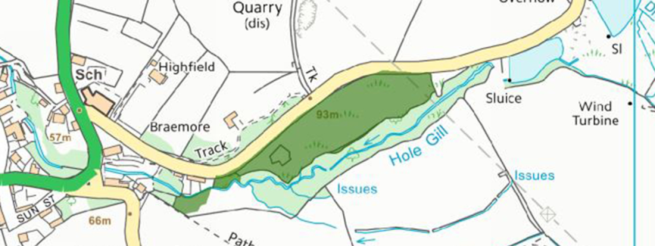
- Plans to support the project throughout included: survey plans detailing access status’, PIL (Person with interest in Land) plans for individuals, proposed route plans with interest information, plans detailing boreholes, web viewer support along with data collection in the field, access plans, land plans, easement plans where the new route would run
- Over three years, the team captured interests ranging from owners to utility networks and highways-maintained land. Anyone that had an interest were recorded in the GIS databases with parcels of land associated to them
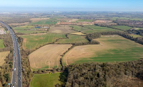
- Layers for SSSIs and other environmental regions were overlaid against the route corridors to aid the project in determining the best route
Benefits
- All information plotted by the GIS team was available to view over Web GIS and linked into an ownership database
- The Book of Reference and associated land plans were created using FME to automate the document and create the land parcels that would be used in the plans. Expertise was then used in ARC GIS to create clear, concise and very detailed land plans