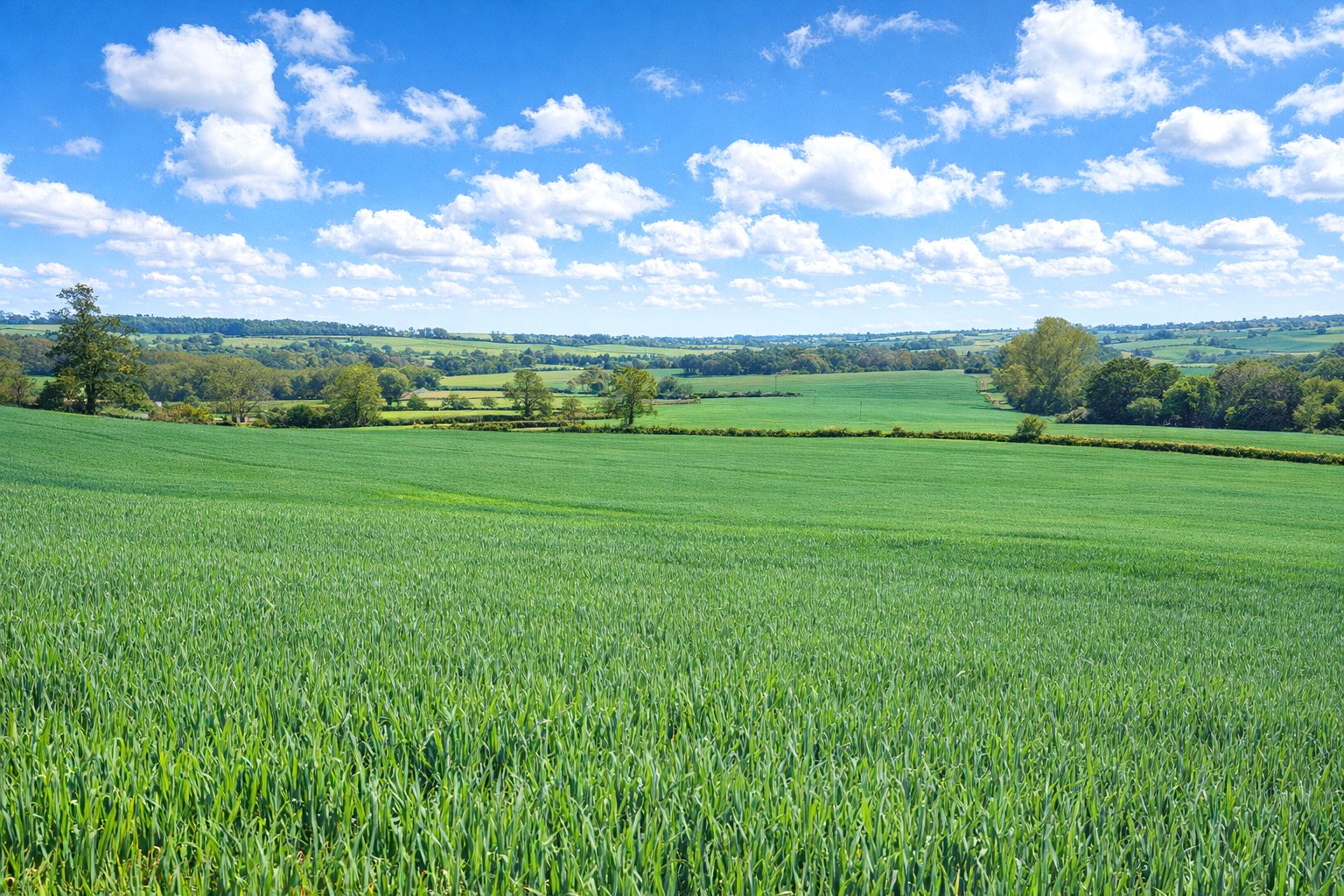
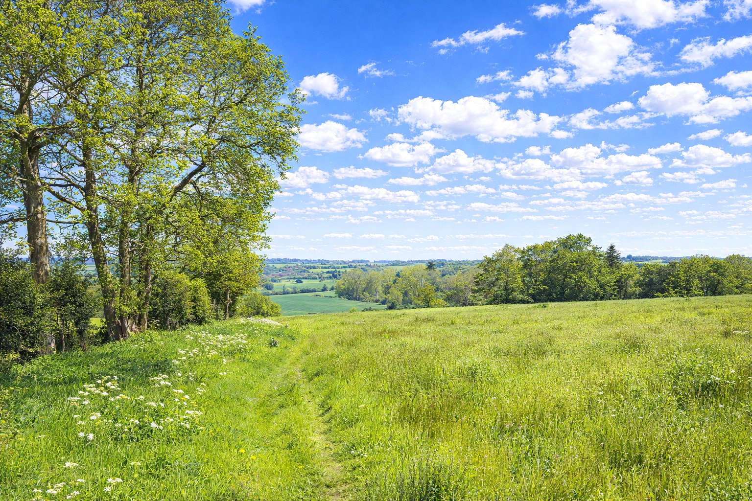
A compact block of desirable grade 3 arable land.
Divided into three usable enclosures, with mature hedgerows and treed boundaries.
Good road frontage onto the West Farndon road.
Land Quality and Soil Type
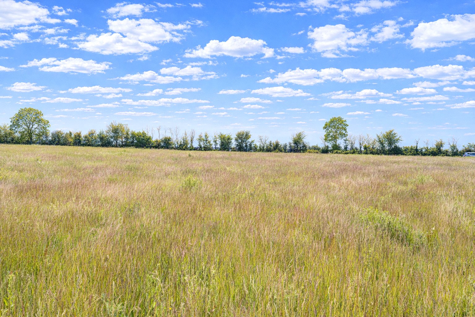
According to Soilscape (England) the soils may be described as slightly acid loamy and clayey soils. Such soils are well suited to autumn sown crops and grassland.
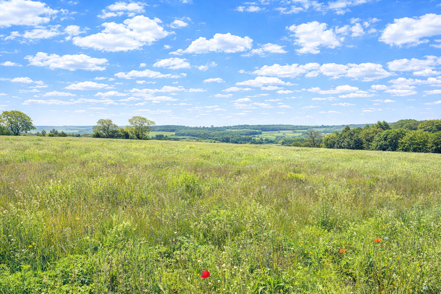
The soils have been well managed as is evident upon inspection. The majority of the land has been sensitively farmed in a cereal rotation for a number of years. Further cropping details upon request.
Situation
The village of Woodford Halse is only 1 mile away. The thriving community offers an excellent range of day-to-day amenities, including a Co-op, post office, butchers, pharmacy, a well-regarded primary school, and several public houses.
Leisure and sporting facilities are also available within the village. Close by are state and private schooling.
Banbury is 10 miles to the south, with convenient access to the M40 and trains to London Marylebone around an hour
Daventry to the north is 9 miles, beyond which is access to the M1, and Long Buckby station for journeys north.
Services
No services are connected. Prospective purchasers must satisfy themselves as to the availability of services and any future connections.
Tenure
The land is to be sold freehold with vacant possession, subject to a contract farming agreement which ends on 30th September 2026.
Method of sale
The land is offered for sale by Private Treaty method. However the vendor reserves the right to conclude the sale by an alternative method if required.
Local Authority
West Northamptonshire Council
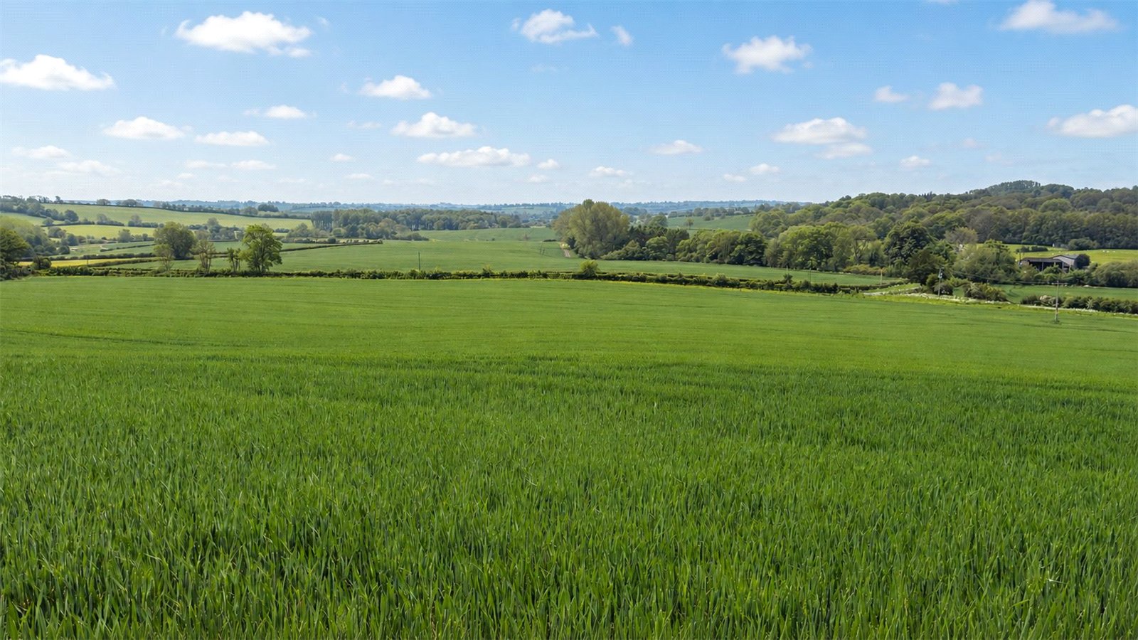
Land Quality and Soil Type
The soils have been well managed as is evident upon inspection. The majority of the land has been sensitively farmed in a cereal rotation for a number of years. Further cropping details upon request.
Public rights of way, wayleaves and easements
The land is sold subject to all rights of way, wayleaves and easements whether or not they are defined in this brochure.
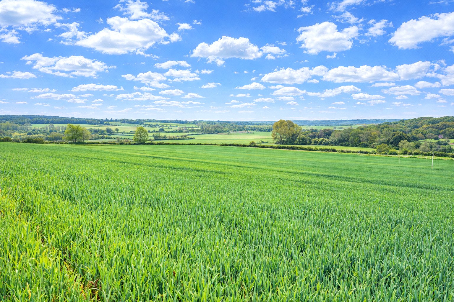
The land benefits from road frontage and access to the south. There is a public bridleway which crosses the land on the outer edge of the northern boundary. The property is sold subject to all other rights of way, wayleaves and easements so far as they exist.
Basic Payment Scheme and Sustainable Farming Incentive
The land has historically been registered for payments under the Basic Payment Scheme and all delinked payments relevant to the land will be retained by the vendor and will not be available to the purchaser/s on completion of the sale.
There is a Mid Tier Countryside Stewardship scheme which expires in December 2026.
Ingoing Crop Valuation and Holdover
If required, provision may need to be made for holdover and an ingoing valuation of the growing crops.
Planning
The selling agents will not provide advice/guidance on the planning history for the property/land. Interested parties are advised to make their own investigations. It is assumed that enquiries have been satisfied, prior to an offer being made.
Anti Money Laundering Regulations (AML)
In accordance with Anti Money Laundering Regulations (AML), we are required to request forms of identification and carry out due diligence on any parties connected to a successful offer. Should an offer be made on behalf of a business/company, AML due diligence will also be necessary. Proof/source of funding must be supplied, prior to offer acceptance.
Plans and boundaries
The plans within these particulars are based on Ordnance Survey data and provided for reference only. They are believed to be correct but accuracy is not guaranteed. The purchaser shall be deemed to have full knowledge of all boundaries and the extent of ownership. Neither the vendor nor the vendor’s agents will be responsible for defining the boundaries or the ownership thereof.
Viewings
Strictly by appointment through Fisher German LLP.
Directions
Postcode – OX17 1AL
what3words – ///reference.stop.scales
Guide price £720,000
- 63.44 Acres
Land for sale West Farndon, Chipping Warden, Daventry, Northamptonshire, OX17
An interesting block of arable land with good road frontage. Extending to about 63.44 acres (25.67 ha) in all.
- A compact block of desirable grade 3 arable land
- Divided into three usable enclosures
- With mature hedgerows and treed boundaries
- Good road frontage onto the West Farndon road
- Slightly acid loamy and clayey soils
- Well suited to autumn sown crops and grassland
- The soils have been well managed
- Sensitively farmed in a cereal rotation
Stamp Duty Calculator
Mortgage Calculator

Find out more about our preferred property finance partners here
You are able to obtain finance using other credit brokers and are encouraged to research elsewhere and seek alternative quotations.