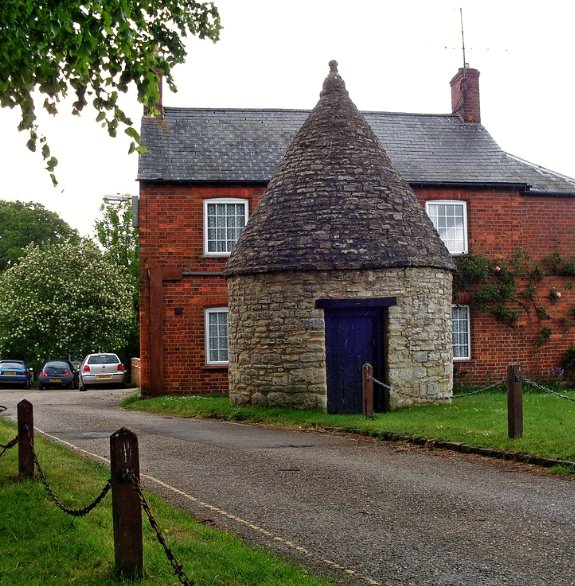
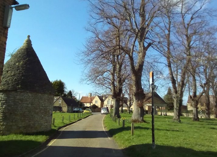
Location
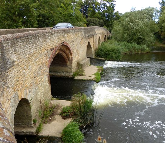
The site is located on the northern bank of the River Great Ouse, Harrold. Harrold is a large village located approximately 10 miles north of Bedford. The A6 is located approximately, five miles to the east and junction 14 of the M1 is approximately 15 miles to the west.
Colworth Science Park at Sharnbrook is a large employer in the area and is located approximately three miles from the site. The regional towns of Bedford, Northampton, Wellingborough and the City of Milton Keynes are all located within close proximity to the site and can be accessed by public transport and car. All four settlements have excellent rail connections to London, the south-east, Birmingham, Nottingham and the north-east.
The site benefits from good pedestrian connections into the village centre from a public right of way to the west of the site, adjacent to Harrold Lake, and a footway along Odell Road to Meadway and High Street. The newest bus stop is located on Odell Road, approximately 85m south-east of the site boundary, which provides access to regular bus services to Bedford, Rushden and Sharnbrook.
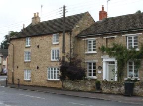
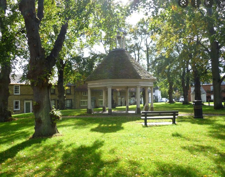
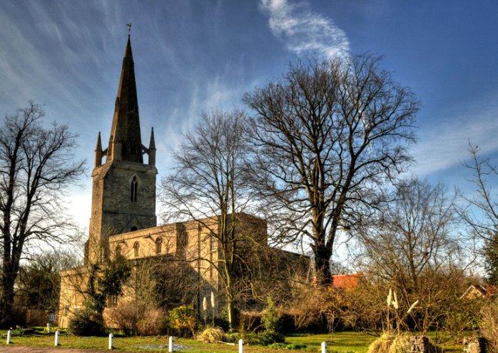
As a ‘rural key service centre’, the settlement has a diverse mix of facilities and services including Harrold Primary Academy, medical practice, local shop, community centre, hairdressers, bowling club, Baptist and Church of England church, a number of recreational grounds, a selection of pubs and restaurants and a small number of local businesses. Harrold-Odell Country Park is located approximately 0.5 miles from the site and offers an extensive wetland nature and recreational area, visitors centre and café.
Description
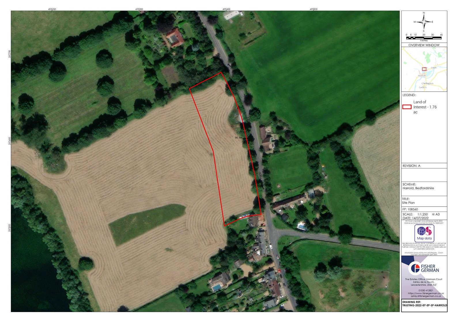
The site consists of a single enclosed field and is accessed via an existing agricultural access from Odell Road.
The land is laid to permanent pasture and has been grazed by cattle. The northern boundary is defined by a mature hedgerow boundary with relatively evenly spaced trees which form the boundary to a dwelling to the north of the site. The southern boundary consists of mature hedgerow which has much fewer trees in comparison whilst the eastern boundary is formed by a hedgerow with relatively evenly spaced mature trees along Odell Road. The character of the eastern boundary similarly extends northwards along Odell Road.
The western boundary borders land within the vendor’s ownership (refer to the Purchaser Obligations title within column two of this page) and beyond this is Harrold Lake which measures approximately 12 hectares, surrounded by dense vegetation and is registered as County Wildlife Site (CWS).
The site fronts onto Odell Road, a single carriageway rural road which is subject to a 30-mph speed limit. Odell Road has footways on either side of the carriageway, with dropped kerbs and street lighting. The footways lead to the High Street in Harrold, the main carriageway though the village.
The site gently slopes from north-east to south-west.
Planning
The site benefits from an allocation (17 dwellings) in the Harrold Neighbourhood Development Plan 2020 - 2030.
As part of the allocation, the development of the site shall consist of 11 market and 6 affordable dwellings and will need to take account of the existing linear built character of the street whilst retaining the protected trees fronting the site. Safe vehicular access to the site will need to include:
i. Visibility splays at access points to the development.
ii. Junctions should be a full bell mouth construction with maximum 6m radius.
iii. The carriageways should be a minimum of 4.8m wide with a minimum of one 2m footway on one side for the same reasons; unless they are to remain private drives for which 4.8m for a minimum of 10m would be required after which a narrower width may be acceptable. Note that only 5 dwellings would be permitted by a BBC off a private drive.
iv. A new footway to connect with the existing one on Odell Road.
v. Improvements to biodiversity should be integrated into the site layout and design.
The site layout should be designed to take account of the existing foul sewer within the boundary of the site and under the ownership of Anglian Water. It should be noted that existing easements may restrict the site layout.
Planning/Environmental Designations
As far as we are aware, the site does not contain any designated heritage assets, such as World Heritage sites, scheduled monuments, listed buildings, registered parks and gardens, registered battlefields or conservation areas.
There is one scheduled monument, 50 listed buildings and two conservation areas within 1km radius of the site.
As per the Environment Agency Flood Risk Maps, the site is located in Flood Zone 1.
As far as we are aware, there are no formal public rights of way over the site.
Method of Sale
The site is to be sold by informal tender with interested parties invited to submit offers in writing using the offer proforma in accordance with the timetable set out in the covering letter.
Overage
Overage will be considered on exceeding a number of dwellings or coverage basis should interested parties wish to propose overage terms. For further details, please refer to the offer proforma.
Purchaser Obligations
The Purchaser is to ensure that sufficient rights are reserved for access and services (to adoptable standards) to connect to the Vendor’s retained land to the west, without ransom.
Agent’s Note
Fisher German have an experienced New Homes department who would be happy to assist you with your development appraisal. For more information, please contact Ella Cartwright on either 07580 323827 or ella.cartwright@fishergerman.co.uk.
POA
- 1.76 Acres
Land for sale Harrold, Bedfordshire, MK43
A site with the benefit of an allocation within the Harrold Neighbourhood Development Plan for residential development. **Offer deadline midday on Wednesday 14th September 2022**
- Included in Harrold Neighbourhood Development Plan Allocation for 17 dwellings
- Approximate gross site area of about 1.76 acres (0.71 hectares)
- Links by road to Bedford, Northampton & Milton Keynes
- Both conditional and unconditional offers
- Offer deadline midday Wednesday 14th September